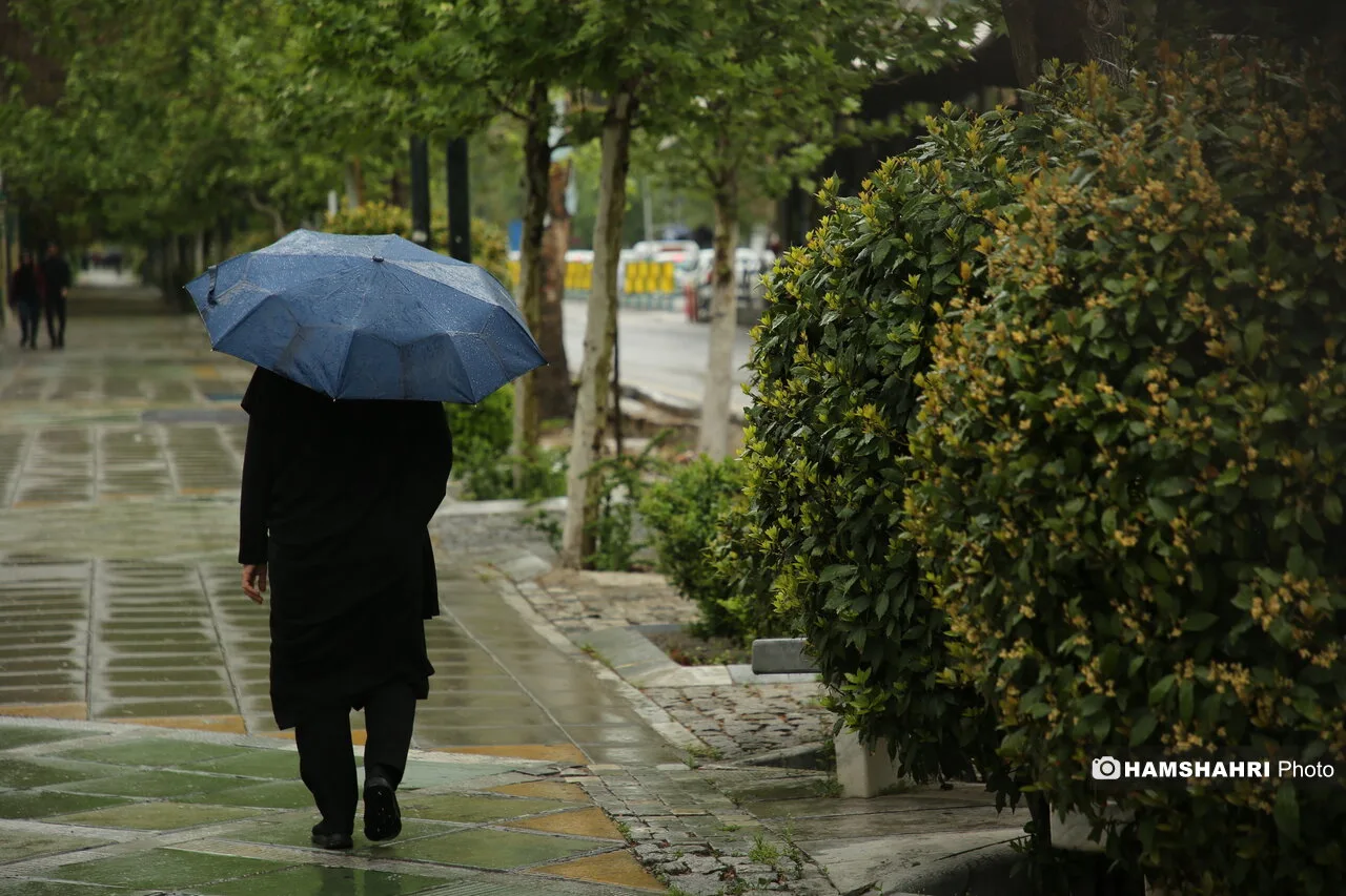
Weather changes will be clearly noticeable on Tuesday, November 5, in North Khorasan and Southeast Iran. According to meteorological forecasts, the country's weather pattern is entering a new phase that could affect the fate of the coming days.
Weather Conditions and Predicted Rainfall
A relative decrease in precipitation activity in the northern strip of the country will direct the centers of instability towards the northeast and southeast. This change in weather conditions, especially in North Khorasan, North Razavi Khorasan, South Kerman, Hormozgan, and the southern half of Sistan and Baluchestan, will lead to showers, thunderstorms, and temporary strong winds.
In the mid-level atmosphere, the passage of unstable waves and upward air conditions can lead to the growth of convective clouds. The presence of moisture in the lower layers of the atmosphere, especially in the southern and southeastern regions, creates conditions for the formation of rain-bearing clouds. However, the intensity and extent of the rainfall depend on the amount of moisture, the strength of the upward air, and the local conditions of each area.
Warnings and Predictions
The most important meteorological point today is the possibility of local and short-term showers in the southeast of the country. Rainfall that may intensify in some areas while not much rain occurs in adjacent regions. If convective cells strengthen, thunderstorms, sudden gusts, and flooding of local streets or channels are also not out of the question.
In North Khorasan, there is a possibility of increased cloudiness, rain showers, thunderstorms, and temporary strong winds. North Razavi Khorasan may also be affected by the ongoing instability, but this does not necessarily mean rainfall in all cities of the province. In Semnan, the northern and eastern areas and elevated regions are more prone to increased cloudiness and scattered showers.
In Tehran, the sky may be clear to partly cloudy with wind. The likelihood of increased cloudiness and showers in the northern heights of the province is greater than in the city center, so instability in the Alborz heights should not be interpreted as widespread rainfall in Tehran.
In the northwestern provinces of the country, such as West and East Azerbaijan, Ardabil, Zanjan, and Kurdistan, significant and widespread rainfall is not expected; however, local changes in cloudiness or winds are possible. Additionally, in the central part of the country, significant and widespread rainfall is not predicted in the provinces of Isfahan, Yazd, Qom, Markazi, and Hamadan.
In the southeast of the country, Hormozgan and South Kerman are among the most important areas prone to instability. The combination of surface moisture, warm air, and local ascent can lead to the rapid growth of cumulonimbus clouds. In Sistan and Baluchestan, the southern half of the province and some elevated areas may also be affected by these conditions.
Regarding the trend for the coming days, forecasts indicate the possibility of a new precipitation system entering from the west of the country on Thursday, November 7. If this pattern stabilizes, various regions of the country may experience increased cloudiness and rainfall. The exact timing and extent of this system's activity depend on changes in new maps.
Read more: Autumn Snowfall in Gilan and Mazandaran and Rain Showers in 9 Provinces