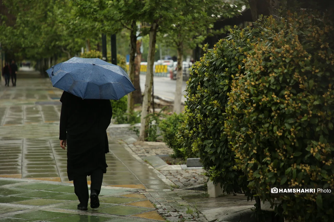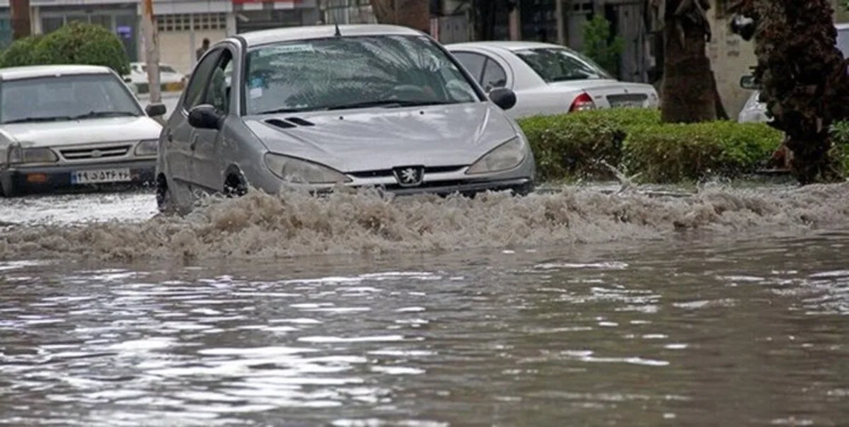
While Iran's sky is divided into two different faces, signs of scattered rainfall and thunderstorms are predicted in some regions of the country. According to the latest output from the ECMWF IFS HRES model for September 30, the northern strip, highlands, and parts of the northeast are prone to increased cloud cover, showers, and local thunderstorms.
Development of Convective Clouds in the Northwest of the Country
In the northwest of the country, especially in the high areas of East and West Azerbaijan and Ardabil, the combination of humidity and atmospheric instability can create conditions for the development of convective clouds. This situation means that warm and humid air moves upward from the surface and, upon cooling at altitude, rain-bearing clouds form. As a result, short-term showers, thunderstorms, and momentary gusts of wind are likely in these areas.
Possibility of Local Rainfall in the Northern Coasts
In the Caspian Sea coasts and the Alborz foothills, Caspian humidity remains one of the main factors of atmospheric instability. The moist current is forced to rise when it encounters highlands, a process known in meteorology as orographic lifting. This situation can lead to increased cloud cover and scattered showers in Gilan, Mazandaran, Golestan, and the Alborz highlands. These rainfalls are mostly local in nature and do not necessarily affect all northern regions equally.
In the northeast of the country, the heights of North Khorasan and Razavi Khorasan are also in a region prone to instability. If humidity and surface heating are available, convective cells can form in the afternoon hours. These clouds may produce showers and thunderstorms in a short period.
Atmospheric Stability in the Center and South of the Country
In the southeast, the humidity from the Oman Sea acts as an energy source for instability. In these areas, southern Kerman, eastern Hormozgan, and parts of Sistan and Baluchestan are prone to the development of convective clouds and local showers in the afternoon and early evening, although currently, there are no signs of a widespread precipitation system in these areas.
In contrast, the center, south, and southwest of the country remain under the influence of atmospheric stability. In these areas, subsidence, meaning the movement of air from higher layers to the surface, limits the vertical growth of clouds, and therefore widespread rainfall is unlikely. Warm and dry air will continue in parts of Isfahan, Yazd, Fars, Bushehr, and Khuzestan. In dry and desert areas, there is a possibility of dust storms if the wind strengthens.
Weather Conditions in Tehran
In Tehran, the overall weather pattern is stable, and the likelihood of widespread autumn rainfall is assessed. The Alborz heights may have different conditions, with increased cloud cover or limited instability occurring in these areas. Temperature outputs from the ECMWF model for Tehran will also be available in the coming days.
Read more: Air Pollution Claims the Lives of 50,000 Iranians! · Warning About Changes in Iran's Nuclear Doctrine and Its Consequences